Saturday, August 22, 2015

Natural Bridges Hike

Natural Bridges National Monument is 35 miles from our campground. We left about 8 yesterday to visit the monument and hike the 5.6 mile round trip hike from Sipapu Bridge to Kachina Bridge and back. It was a long, difficult hike but we are really glad we did it. We walk five miles (10,000 steps) almost every day--on smooth, level surfaces. This hike was anything but smooth or level and I logged over 20,000 steps yesterday. But both the ranger and the brochure told us it was really 5.6 miles for this route. Of course, we did our weight training before the hike.

This is Sipapu Bridge.


A couple of hours later, we came to this view of Kachina Bridge.


We drove on Bridge View Drive to the trail head at Sipapu. We began the hike through this gate.


The trail was clearly marked at the beginning.


We walked along this shelf below overhanging rocks.


But, to get to the bottom of the canyon so we could see the bridges from their base, we had to climb down the equivalent of a 50-story building--500 feet. There were stairs, railings and ladders to help us go down.


At least the ladders were sturdy with good wide rungs.


This was the easiest way to get on the top rung of this ladder.


It wasn't long until we approached Sipapu bridge, which is 220 feet high with a span of 268 feet, width of 31 feet and thickness of 53 feet.


From there, it was a long walk through the canyon to Kachina Bridge. At times we were in the stream bed, at other times bushwhacking through willows and walking in loose sand.


We could see how high the water can be in the canyon after heavy rains. We certainly wouldn't want to be there then.


At each turn, we would wonder--will we see the next bridge here?It's not here.


Oh, there it is! How long will it take us to get there?


We did finally get to Kachina Bridge. It is 210 feet high with a spa of 204 feet. The width is 44 feet and the thickness 93 feet.


We still had to climb to the canyon top and walk across the mesa to our truck. There were more stairs and railings.


Then a hot trail across the top.
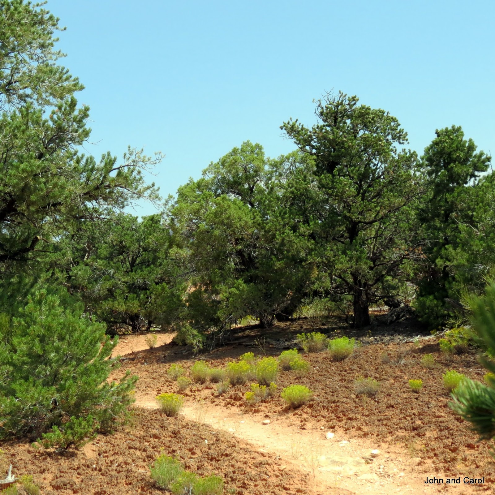

The ranger had suggested we go across the mesa top to begin the hike while is was still relatively cool, then we would be climbing back up in full shade to the parking lot where we left our truck. We didn't go that way and we were glad. I was too tired to climb those ladders and hang on to all those railings by the end of the hike.

Barbara and Ron will remember our hike to Picacho Peak several years ago. This one was almost as hard at that. But we always have such a sense of accomplishment when we complete a hike like this. We will always remember this one, too. It was so beautiful. These to old people--72 years old--feel really good about ourselves and what we saw yesterday.


Wednesday, August 19, 2015

Deserted Valley


That is what Hovenweep means. It is the Paiute word for deserted valley and the name of a national monument in southeastern Utah and southwestern Colorado. We had never heard of it until we came to Cortez last week and today we visited it after moving to Blanding, Utah. It was a long 45-mile drive from Blanding with some rather indistinct signs before we came to the visitor center. But the trip was certainly worth it.

After watching the 18-minute video, we walked 3 miles along a trail around the Square Tower group of ruins around a canyon. While watching the video, we thought we would be viewing the Square Tower ruins, then driving to another canyon to see other ruins. Instead, a 3-mile trail took us to several ruins.

Most of the buildings in this area were built between 1230 and 1275, about the same time as the famous cliff dwellings in Mesa Verde. Most of the buildings in Hovenweep contain towers. Archaeologists are not sure if the towers were built as defensive structures or for some other reason.

We were really interested in what we saw today. We have explored many different southwestern prehistoric communities and this was yet another new one that expanded what we know about life in this area over 700 years ago.

This is a view of the canyon at our first viewpoint.  We could see a partial wall right in front of us and the twin towers across the canyon.


This is Hovenweep Castle.  You may be able to tell that the walls are made of double rows of stones.  They would probably have been very strong.

This is a closer look at the round tower that is part of the castle.


And yet another view of the Castle set of buildings.


Down below the canyon rim, we could see Square Tower, which gives it's name to this group of ruins.


Probably the most interesting ruin was Eroded Boulder House, built as the name suggests almost within a cave in an eroded boulder.


Here are two different views of the Round Towers.


This view across the canyon shows how many ruins there are in a small area.  Several hundred people lived in this area. 


The trail ran along the rim of the canyon most of the way. It also went down into the canyon, then back up the other side in its return to the visitor center. We have volunteered in places like this over the past few years and we have a real appreciation for all the work that went into marking these trails, some that cross large rocky areas.


We have found it is always worth or time to visit these National Monuments and even locally-protected ancient settlements. We enjoy them and learn more of the fascinating past of our country.
The monument also has a 30-site campground.  The sites have no water, sewer or electric, but at least some would have accommodated our  big 5th wheel--if we wanted to drive 45 miles along the narrow, remote roads.  Most of the distance was paved, at least.

Sunday, August 16, 2015

Scenes Around the Campground

We usually avoid KOA campgrounds--they are expensive and often overrun with children. However, in Cortez the KOA is not only the best campground with hookups, there are very few children. School has started in most of the state. Our time here has also taken us back to our first few RV trips in our Coleman tent trailer and Komfort 5th wheel. Back then, we didn't know there was any other type of campground.

We are parked within a few miles of Mesa Verde National Park and many of the people staying in this campground are from other countries. They come in tents or stay in Kamping Kabins or have rented RVs. Would you believe there are 26 Kamping Kabins? They are lettered A through Z. One evening I walked around about 8 pm and found most of the folks in tents were just cooking or eating dinner.

Here is one photo of the tent area. That part of the campground has been much busier that the 50-amp section we are in.


The scenery out our back window is great, with sunsets, sunrises and mountains.


There is also a 1.5 mile nature trail that goes from the campground to Denny Lake, owned by the city of Cortez.  Here are some views of the lake and park.


This has been a good place to stay.

Friday, August 14, 2015

The Trail Less Traveled

Every day, we try to walk five miles--10,000 steps. Most of the time, that involves walking round and round in our RV park, at others times on the streets of nearby towns and cities. Yesterday we hiked in Mesa Verde National Park, a refreshing change from our usual routine.. This is at least the fifth time we have been to the park, so instead of visiting the ruins, we found a good hike. That was a good decision in more ways than one. The park was filled with visitors. As we drove to our trail head, and as we walked down to the trail past the entrance to Spruce House, the park and trail were packed. But once on the Spruce Canyon trail, we only encountered only two other hikers. We were glad we chose the trail less traveled.

On our way into the park, we had great views of the valley below.


We also saw a lot of evidence of forest fires from years ago.


As we went down into Spruce Canyon, we could see the walls of the mesa.


In some places there were bridges across a small waterway. It was dry when we were there.


In other places, the trail went though thick green vegetation.


We also saw interesting rock formations.  This looks like a stream in the foreground, but it is all rock.


We had a great hike. And there was an advantage in not visiting the many ruins in the park. It made me think about what life was life for the cliff dwellers of long ago. We have paved roads and stairs and groomed trails to navigate Mesa Verde (the green mesa). They had to climb up and down the stone walls and walk cross country, both on the mesa top and in the canyons. I can't imagine what that was like.

This statue stands in front of the Visitor Center and it really blows my mind to think of climbing to a cliff house or the mesa top this way. I have included three views of the statue so you can get a better idea of what the man's life was like.


Wednesday, August 12, 2015

Duct Tape to the Rescue

The automatic lock on our Dometic 4-door refrigerator-freezer is broken. And when we discovered this fact, the doors were closed and locked! These two weight lifters finally forced the door open. But, how do we get it fixed? We contacted a Coach Net technician and learned Dometic had been having problems with this and a repair would require all new doors. Obviously, we aren't going to get it fixed until we return to Gold Canyon. The tech told us to have the repair shop to order doors with a manual lock, instead of the automatic lock we now have.

We have always tried to lock the doors each time they are opened and closed. Do you have any idea how hard it is to break that habit? But we don't want to end up with the doors stuck in the locked position. So I have put small strips of duct tape on the two sides of the sliding lock so it won't move.

But we still had the problem of how to keep the doors closed when we travel. With the automatic lock, each time we disconnected from shore power, the doors locked so they wouldn't come open during travel. John found two c-clamps in the tool box and we clamped the door handles together. Unfortunately, the refrigerator doors still came open about an inch--enough for the food to get too warm. So, this is what we do now on travel days: C-clamps and duct tape. I am so glad the doors are stainless steel. It will be easy to clean off the residue from the tape.


We feel so smart! 

But, how did we figure out that duct tape would hold the doors, you might ask?  Well, nearly 20 years ago, in1997 to be exact, we were driving north out of Pennsylvania after spending time in Philadelphia.  We had a 26 foot Komfort 5th wheel, which we had owned less than a year.  When we parked and went into the RV, we found the freezer door had fallen off and was on the floor!  We were new at RV travel and weren't sure where we could get it fixed.  What to do?  We duct-taped the door in place.

It wasn't the most convenient way to travel and use the freezer, but it worked.  When we got to Buffalo, New York, we found an RV repair shop and they reattached the door.  Apparently, it had not been hooked up correctly.  No surprise to us.  We always travel with a good supply of duct tape. 

Saturday, August 08, 2015

Sights Along the Way

I'll share some of what we saw in Pagosa Springs and Durango as we sought to renew of driver's licenses.

The Pagosa Hot Springs are the hottest--at 145 degrees--and deepest in the world, according to the resort town. The public fountains and pools are accessed through this Pagosa Springs Bathhouse.


This is a view of some of the pools where visitors can use the waters. The natural spring water is way too hot to go into, but it is mixed with water from the San Juan rive to form pools of varying temperatures.


A nearby park has this giant chess set for children and adults to play with.


Many of the historic buildings downtown have been updated or restored. This old building appears to still be in its original condition. The town was incorporated in 1891.


Durango, to the west, is larger than Pagosa Springs and is the location of Fort Lewis College. According to Wikipedia,

"Because of its unique origins as a military fort turned Indian boarding school turned state public school, Fort Lewis College also follows a 1911 mandate to provide a tuition-free education for qualified Native Americans. Fort Lewis College awards approximately 16 percent of the baccalaureate degrees earned by Native American students in the nation."

The city is a busy tourist and college town and the home of the Durango and Silverton Narrow Gauge Railroad. It was a very prosperous town, established in 1881 by the Rio Grande Railroad to serve the San Juan mining district. The Strater Hotel gives you a feel for what the town was--and is--like. We stayed there years ago and it is a great hotel.


This is another attractive downtown building and one of the statues along Main Avenue.


We found this mural on the side of one building.


We checked our a french bakery and found lots of luscious-looking goodies inside.


This is one of the large, attractive homes in the downtown area.


Another attractive home, though smaller, had this metal ring embedded at the curb. Do you suppose it was to hitch a horse?


Renewing our licenses was a necessary task, but accomplishing it brought interesting sights along the way.

Success!

When we lived most or all of the year in our home in Colorado, we never had a problem renewing our driver's licenses. Even when we began traveling extensively, it wasn't too much of a problem because Colorado allows online renewals. This only becomes an issue every five years. But this year it did become an issue. We are old enough we have to renew in person. My license expires at the end of May 2016, but John's expires in February 2016. Since we spend our winters in Arizona, we needed to do something about John's before we leave Colorado. Otherwise, we faced a round trip drive of 1,400 miles in the middle of winter.

To our delight, we discovered we could renew our licenses at any time before they expired. We looked up the requirements online and read we needed evidence of our Colorado residence in addition to our old license. They suggested a credit card bill to that address. No problem. Our credit card bill is addressed to our permanent address in Colorado. We also needed proof of our Social Security number. That is more of a problem. We don't carry the cards in the RV. The website suggested a copy of our Social Security 1099. Also a problem, since I don't carry our income tax files with us since we aren't living full time in the RV anymore.

I searched and found that we could go online, set up an account on the SSA.gov site, and print out one from a previous year. That shouldn't be a problem. The questions they asked are like when you apply for a credit report--you have a bank account at one of these banks; you opened a credit card with one of these companies; you own this vehicle. I easily answered those questions and set up my account. The same process for John didn't go as well and the account was locked out for a week.

We set off for the Department of Motor Vehicles in nearby Pagosa Springs, hoping John's Medicare card or statement of medicare claims would fill the bill. No luck--the DMV in Pagosa doesn't issue drivers' licenses. We did enjoy looking around the small town.

The next day, we headed to Durango, a larger town nearby. Yes, they have a driver's license bureau. And we didn't need proof of our Social Security number, after all. Why did the web site say we did? But we weren't complaining. We have both renewed our licenses for the next 5 years. And we enjoyed looking around Durango, too. We are so glad this item is off our agenda for five years.

In my next blog, I will show some o the sights in Pagosa Springs and Durango.