That title might make you think we are near the ocean. But I don't think it is possible to hike that sort of reef. We are in Utah, exploring Capitol Reef National Park. We have done 3 hikes on the Waterpocket Fold. That is an uplift revealing "a nearly complete set of Mesozoic-era sedimentary layers," according to the park's Geology information.
Our first hike was a 3 1/2 mile hike to Cohab Canyon. This is the backdrop for the Visitor Center.
Many of the cliffs are covered with these holes--called water pockets. These holes are caused by water and wind.
This canyon wasn't quite as narrow as it appears.
We didn't walk up this narrow side canyon.
Our second hike was to Hickman Bridge. A bridge looks like an arch but it is carved out by water, rather than wind and sand.
The rocks in Capitol Reef come in many different colors. The deep red stone is rich in oxidized iron. Here is a hill of light pink stone. We saw this as we were driving through the park.
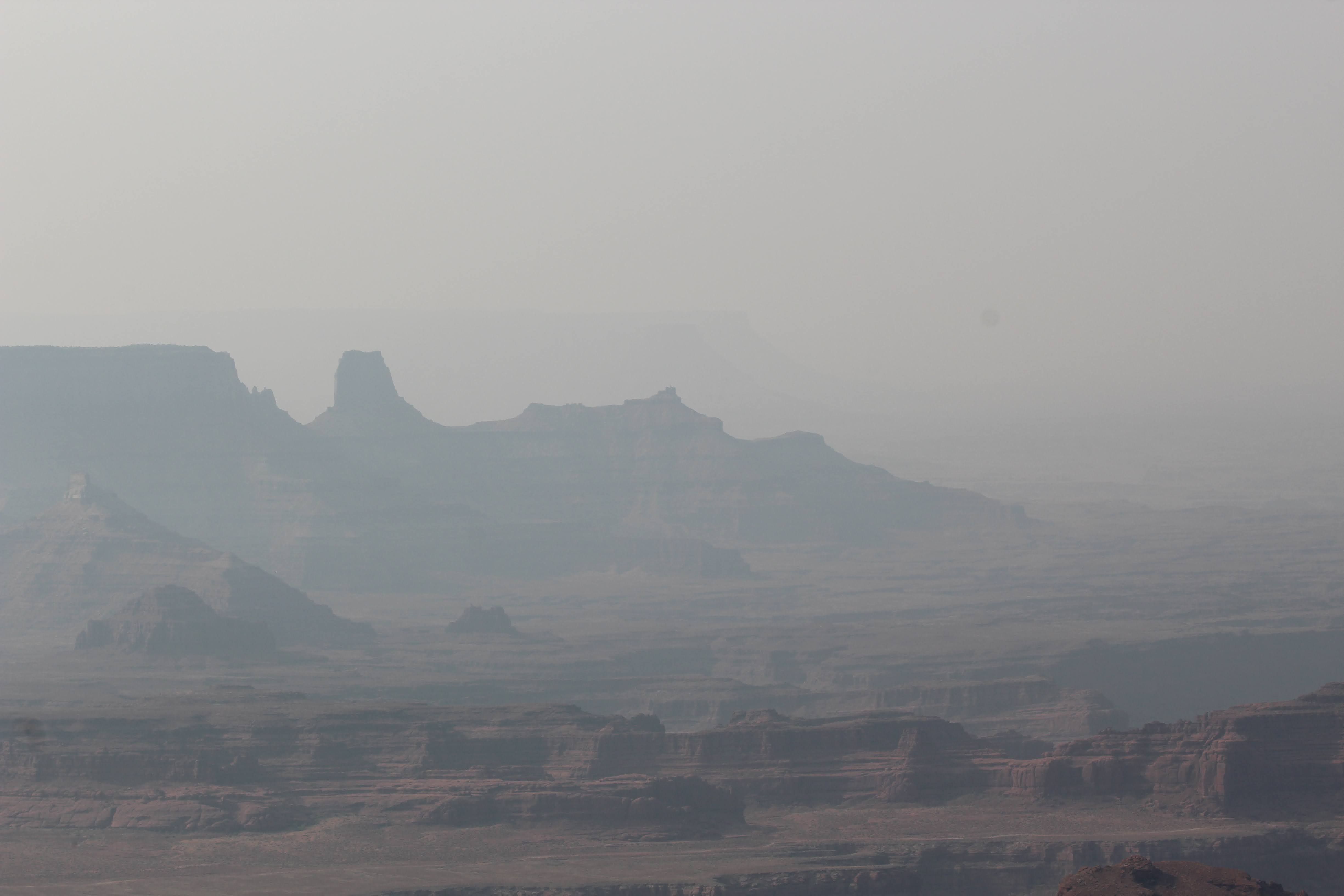
This was our view of that mountain as we climbed toward Hickman Bridge.
In places we found trees for some welcome shade.
One of our views from under Hickman Bridge.
The center of the bridge is really narrow, considering the heavy rock it is made of.
Here are two views looking through the bridge.
Finally, a view of the Fremont River that carved the bridge.
More interesting shapes on the landscape.
Our third hike was through the Grand Wash, a gorge that cuts its way through the upper portion of the Waterpocket Fold. Though the trail is long--3.5 miles one way--it is almost level, with only a 200 foot change in elevation. The trail was the busiest we have seen here in the park.
One hiker who passed us asked if we would like him to take a picture of the two of us together in the Wash.
Looking up at the sky.
I'm not sure how these plants get enough sun to make chlorophil in the bottom of the wash, but they sure add to the beauty of the place. Notice the windows--holes--in this rock formation.
If we didn't know that we could get out the other end of the Grand Wash, we might wonder where we were going or if we would ever find out way out.
John sure looks small against the massive wall.
Here are some more water pockets. If you look closely, you can see some the smaller stones in some of the holes or pockets. They must have been carried by the water rushing through the gorge.
To really get a perspective on the size of everything in the Grand Wash, look closely at this photo. There are two people walking away from the camera just under the right side of the overhang at the back of the photo.


