Showing posts with label mountains. Show all posts

Wednesday, September 29, 2021

Fall Colors in the Colorado Mountains

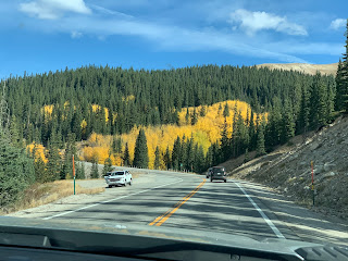
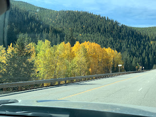
Most years we head to Arizona in early September.  Not this year, so yesterday we drove to the mountains to enjoy the fall colors of Colorado's aspen trees.

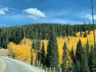
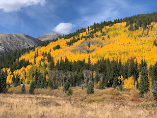
Any hillside where there are aspens, we saw the golden leaves.
They start turning from green to yellow and then sometimes to darker yellow and orange.


Our route took us over Kenosha Pass, elevation 9,997 ft.   Obviously, we weren't the only people out to see the colors.
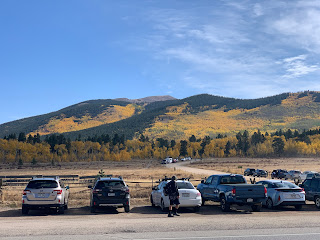

Some areas of the Colorado mountains have been decimated by the bark beetle, leaving large stands of dead conifer trees.  But that obviously hasn't been a problem where we were traveling.  There is a healthy mix of green conifers and aspen trees.
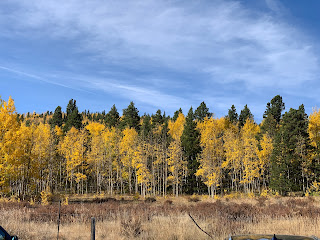


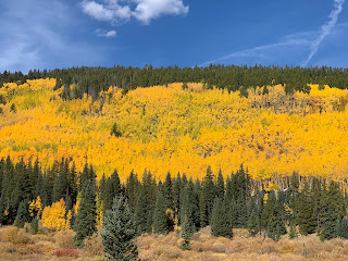
Even above timberline, the mountains are beautiful.  We come from a beautiful state. 
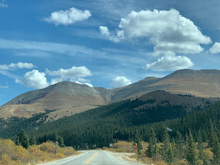

Just look at these hillsides.


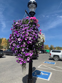
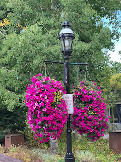
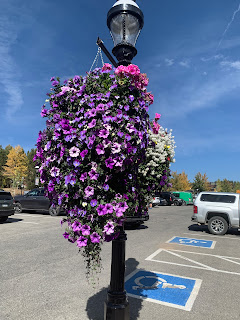
When we got to Breckenridge, we decided to get some exercise.  Flowers grow willingly in hanging baskets around the town.

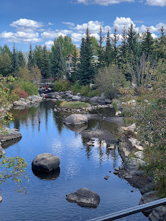
We crossed this picturesque creek.


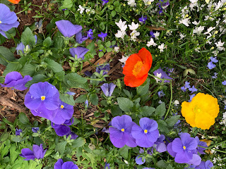
More flowers.


e 


These were in a flower box along the sidewalk, rather than in hanging baskets.


You can sit and rest a while in this area along the main street.


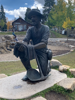
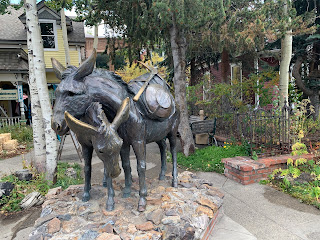
Breckenridge has a rich mining history. Here is a statue of a miner.


And another of a pair of donkeys carrying the miner's tools.


Any day now, Colorado  can be blanketed with snow.  Trail Ridge Pass road was partially closed overnight due to ice and snow.   Thankfully, we made our tour before we had to worry about that.
 

Monday, August 17, 2020

Travel to Telluride

 The scenery along the route from Montrose to Telluride is spectacular.  Only the skies hazy with smoke from several wildfires limited the beauty.


The forest and rock formations are great.


Unfortunately, some unknown (so far) problem is causing large stands of Aspen to die.  


There are sharp peaks.


And long smoky vistas of other mountains.


In places, we had a good look at the different colors of stone in these mountains.


Telluride is right in the middle of these mountains at an elevation of 8750 feet above sea level.  This is a view along one of the side streets.  I was standing on Main Street.

We could tell where the ski trails are in the winter.  Notice how steep the roofs are.  It helps the snow to quickly slide off the buildings, rather than drifting on the roof and causing damage.


I love the paint job on this house and the attractive front porch.

This is a galloping goose. Signs like these marked the bus stop where people could wait for the rail-riding vehicle that traveled through town and between the mountain towns decades ago.


This is a galloping goose.


There is something about the thin mountain air that really helps flower baskets to thrive.  Aren’t these beautiful?


This sign tells a little about the mining past of Telluride.


Friday, August 16, 2019

Hiking in Creede

Creede was established in a small opening amid rugged and beautiful rocky hills.


At the far end of the town, the opening in the rocks that you see below lead into a canyon cut by a stream. Caves were cut into the rock walls in the miners' hunt for silver ore.  Today those caves house the community center and meeting rooms.


We walked through the narrow part of the canyon where the caves are found and it opened into more beautiful views.


After a short walk we came to evidence of mining and a mill to process the ore.


This is the small stream flowing through the canyon.  To the left above the stream you can see the supporting structure for a rail line to bring the processed ore out of the canyon.


Here are more of the mining structures and what I think are called slag piles from all the rock brought our in the mining operation.


We had hiked up the canyon on a previous visit and it was good to see and appreciate these mountains and their history again.

Tuesday, August 06, 2019

Driving Narrow, Winding, Beautiful Million Dollar Highway

We drove over the Million Dollar Highway in western Colorado twice in the past week, once to visit Silverton from Ouray and then, with the trailer, moving from Ouray to Bayfield. 

Why is it called the Million Dollar Highway?   I thought it was because that is how much it cost to build. Google tells me it is because of the views.  And they are impressive.

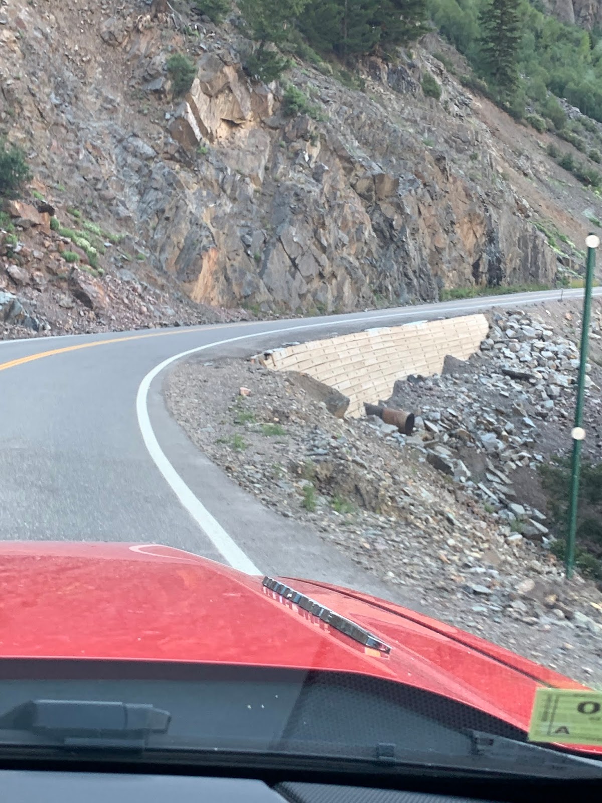
Much of the highway is narrow with lots of curves and no shoulder or guardrail.  It is certainly not for the faint-of-heart and must be really difficult for the many Texans who come to Colorado in the summer.


Last winter brought lots of snow and there were numerous avalanches along the highway.  Here we could see the trees knocked down and the dirt left from the snow that came down the mountain.


This view from our GPS shows us what the road ahead looks like.


The hillsides are often very green.


This is a view of part of the San Juan Mountains.


This area of Colorado saw lots of silver mining in the 1800s.  There is still some evidence of the mining buildings.


As if the GPS view wasn't bad enough, look at this sign--a 10 mph curve.  And obeying the speed limit is a very good idea.


Another spectacular view.


More evidence of avalanches.


Beautiful red mountain.


We both grew up in Colorado and were often in the mountains.  Since we no longer live here, it is sos good to spend a lot of time enjoying those mountains during this summer's travels.